Tropical Storm Sandra
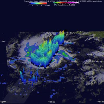
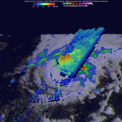
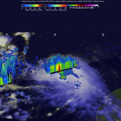
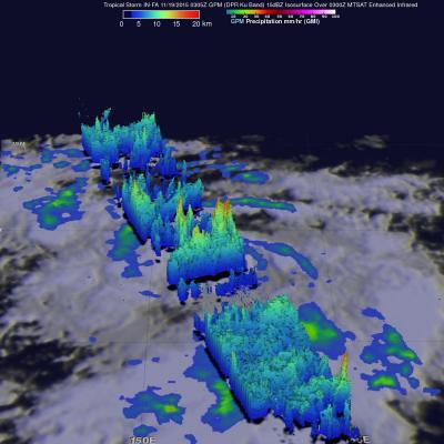
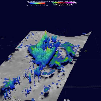
Early this morning tropical Storm Sandra became the 18th named storm of the 2015 Eastern Pacific hurricane season. Intensifying tropical storm Sandra had winds of about 35 kts (40 mph) when the GPM core observatory satellite passed over on November 24, 2015 at 0719 UTC. A rainfall analysis derived using data collected at that time by from GPM's Microwave Imager (GMI) and Dual-Frequency Precipitation Radar (DPR) instruments is shown. DPR discovered that the intense convective storms south of the tropical storm's center of circulation were dropping rain at a rate of over 80 mm (3.1 inches) per