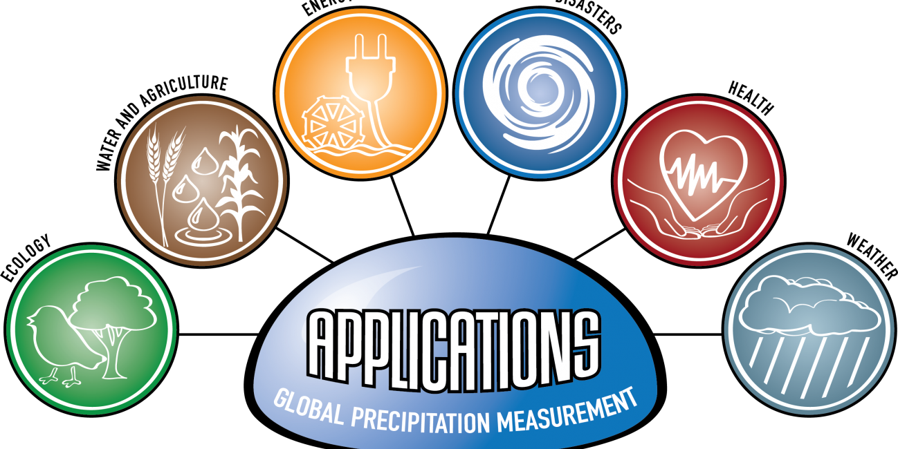
Logo for GPM Applications showing ecology, water and agriculture, energy, disasters, health, and weather.

Applications


Image

Overview

The Global Precipitation Measurement (GPM) mission has several cross-cutting application areas which contribute to and enhance our understanding of weather forecasting, disasters, ecology, health, water and agriculture and energy. Using advanced space-borne instruments, GPM measures light rain to heavy rain and falling snow, producing a near-global view of precipitation every 30 minutes. Through improved measurements of rain and snow, precipitation data from the GPM mission is used by a diverse range of applications and user communities at local to global scales to inform decision making and policy that directly benefits society. 

Sections

What are Applications? 

“Applications” refers to the use of mission data products in decision-making activities for societal benefit. Mission Applications take a satellite's data products and expands them into areas where they can help inform policy or decisions. 

Learn more about Applied Sciences at NASA

Who's Using GPM Data?

Learn about the different people and organizations that are using GPM and other NASA Earth data to help improve life around the world. 

View Articles

2022 GPM Mentorship Program


GPM Data for Decision Making

Are you using GPM satellite precipitation data in your work, or would you like to? Share your story with our team, or ask us any questions you may have using our contact form.

We also encourage you to get involved in GPM applications by attending an applications event or accessing the free and publicly available data in the data section of this site

  • Dalia Kirschbaum (NASA GSFC), GPM Mission Associate Deputy Project Scientist for Applications
  • Andrea Portier (NASA GSFC / SSAI), GPM Applications and Outreach Coordinator
  • Dorian Janney (NASA GSFC / ADNET), GPM Outreach Specialist
  • Jacob Reed (NASA GSFC / Telophase), GPM Web Developer

Applications Featured Resources

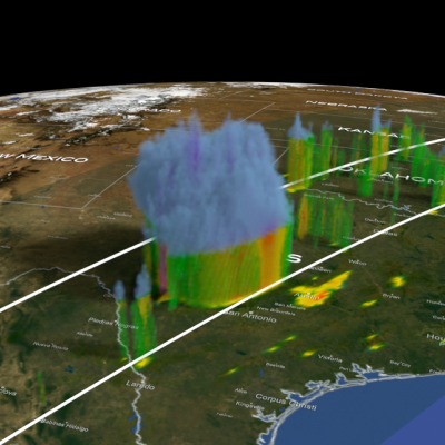
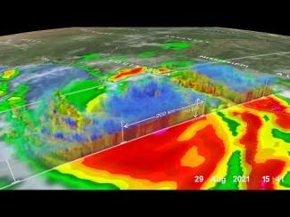
3D map of GPM precipitation estimates from within Hurricane Francine as it approached the Gulf Coast.
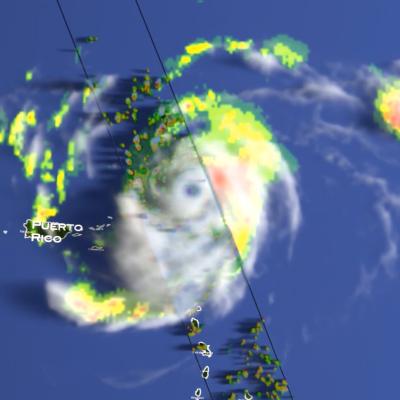
Hurricane Francine made landfall on Wednesday, September 11, at 5:00 p.m. CDT on the southern coast of Louisiana, approximately 30 miles south-southwest of Morgan City. The National Hurricane Center (NHC) classified it as a Category 2 storm, with maximum sustained winds estimated at 100 mph. Francine originated from a westward-moving tropical wave of low pressure, known as an African easterly wave. This wave, as is typical, emerged off the west coast of Africa before traversing the tropical Atlantic and Caribbean. These waves often serve as seedlings for tropical storms and hurricanes in the
GPM Applications webinar banner
Did you know that GPM data has enabled people to better understand how water moves through our planet and make informed decisions that lead to improved outcomes for society? GPM continues to support a range of applications from water resource management, agriculture, vector- and water-borne disease monitoring, animal migration, tropical cyclone location and intensity estimation, hydropower management, flood and landslide monitoring and forecasting, and land system modeling, among others. Join us during this free webinar to learn about the multiple ways GPM is used throughout the world and gain a perspective from two GPM power users that help support weather forecasters and the ecological community.
Screenshot of IMERG animation of Hurricane Beryl
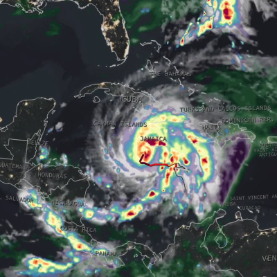
On the morning of Sunday, June 30, Hurricane Beryl became a rare early season major hurricane when it reached Category 3 status with sustained winds of 115 mph as it was moving across the Atlantic 420 miles east-southeast of Barbados in the direction of the Leeward Islands. Then, just a few hours later at 11:35 a.m. EDT, Beryl became the earliest Category 4 hurricane on record in the Atlantic with sustained winds reported at 130 mph by the National Hurricane Center (NHC), surpassing Hurricane Dennis from the epic 2005 Atlantic hurricane season. Beryl also became historic as the strongest and
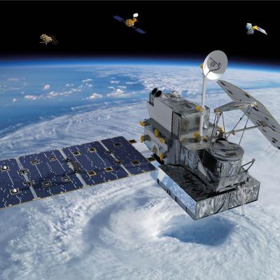
GPM 10-in-10 Banner showing the GPM satellite over Earth sensing precipitation.
Have you ever wondered how Earth observing satellites are able to measure things like precipitation, temperature, and other phenomenon from space? Join us during this free webinar to learn about “remote sensing” and gain an understanding of how and why we use satellites to help us understand and protect our home planet.
GPM 10-in-10 Webinar Series Banner showing a placid lake with many birds on it.
April 11, 2024, 8 p.m. ET Overview With Earth Day coming up on April 22, we would like to share the many ways in which NASA and its partners help us to better understand and protect Earth. Join us on April 11 from 8 to 9 p.m. ET for an informative webinar. Guest speakers include Dr. Dalia Kirschbaum, Amy Chen, Liz Saccoccia, Matt Pearce, and Dorian Janney Webinar Recording Resources Resource Packet Speakers Liz Saccoccia Liz Saccoccia is a Water Security Associate on the World Resources Institute’s Water Team. She works with governments, companies, and research partners to advance best
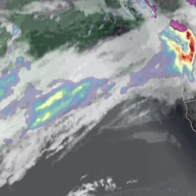
Screenshot of the IMERG animation showing rainfall totals from the atmospheric river in Jan. and Feb. 2024.
A pair of powerful atmospheric river events brought heavy precipitation across much of coastal California this week, resulting in record rainfall totals, extensive flooding, numerous landslides, hurricane-force winds, and power outages. These types of atmospheric river events that impact the U.S. West Coast are also known as the “Pineapple Express” due to their transport of moisture up from the Tropics originating around Hawaii. The first event had the greatest impact on northern and central California. It was initiated when a large low-pressure trough located in the northeast Pacific
jasper-screenshot.png
In mid-December 2023, the far north region of Australia’s Queensland state experienced heavy precipitation and flooding as a result of Tropical Cyclone Jasper, which made landfall on December 13 north of the town of Port Douglas. The Joint Typhoon Warning Center began issuing bulletins on Jasper on December 5 as it developed into a tropical depression over the Western South Pacific Ocean. By December 7, Jasper had strengthened to a Category 4-equivalent cyclone on the Saffir-Simpson scale as it tracked southwestward. By the time it made landfall on December 13, Jasper’s winds had weakened back
GPM Overpass of Hurricane Otis
After rapidly intensifying overnight, Hurricane Otis made landfall near Acapulco, Mexico around 1:25 a.m. CDT (06:25 UTC) on Wednesday Oct. 25 as a powerful Category 5 hurricane. Otis had maximum sustained winds estimated at 165 mph by the National Hurricane Center (NHC), making it the first Category 5 as well as the most powerful storm to hit the Pacific coast of Mexico on record. Otis formed into a tropical depression (TD 18-E) on the morning of Sunday Oct. 22 about 530 miles (850 km) south-southeast of Acapulco from a broad area of low pressure. The depression was moving slowly northward
GPM Overpass of Cyclone Bolaven
Typhoon Bolaven began as a tropical depression over the West Pacific Ocean on Oct. 7, 2023. On Oct. 10, Bolaven became a Typhoon and passed over the Mariana Islands as it tracked to the northwest. Bolaven then rapidly intensified over 12 hours from a Category 1 to a Category 5 storm on the Saffir-Simpson scale, starting around 12 UTC on Oct. 10. Several factors contributed to the rapid intensification, including modest shear in the atmosphere and warm sea-surface temperatures. This animation shows precipitation within Typhoon Bolaven around the time that rapid intensification began. The global
Map of IMERG precipitation estimates from recent flooding rainfall in Greece.
On Sept. 4, 2023, a low-pressure system developed over southeastern Europe that would lead to devastating floods over Greece and other parts of the region. The system was given the name “Daniel” by local meteorological agencies. Daniel was dynamically driven by strong cyclonic flow in the upper-level winds over southeastern Europe. The upper-levels winds combined with low-level winds from the northeast which supplied moisture from the unusually warm waters of the Aegean and Black Seas to central Greece. According to satellite infrared and microwave estimates from NASA's MUR and NOAA’s OISST v2

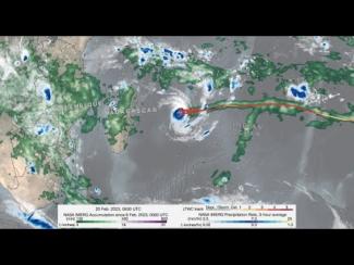
GPM IMERG precipitation rates and totals from Tropical Cyclone Freddy, Feb. 6 - March 12, 2023. Credit: NASA 

Download in high resolution from the NASA Goddard Scientific Visualization Studio

In a series of three half-day virtual meetings, this workshop will focus on current applications and future opportunities of NASA precipitation and cloud data products to support transport and logistical activities for aviation, maritime, roads and highway transportation systems. The workshop will bring together representatives from federal and state operational agencies and private companies to discuss how NASA precipitation and cloud products could be better leveraged to inform decision-making for transport and logistical operations. The workshop will also provide an opportunity for end...

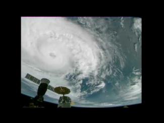
Cameras outside the International Space Station captured dramatic views of Hurricane Zeta at 12:50 pm ET October 28, as it churned 200 miles south-southwest of New Orleans packing winds of 90 miles an hour. Credit: NASA International Space Station

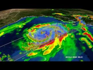
GPM Core Observatory overpass of Tropical Storm Zeta on October 28 at approximately 3:25am CDT (8:25 UTC). Credit: NASA Goddard Scientific Visualization Studio

View an interactive 3D visualization of this overpass in STORM Event Viewer

Hide Body

Hide Date

Hide Main Image

Hide Title