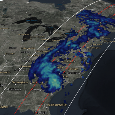
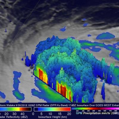
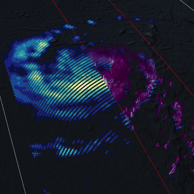
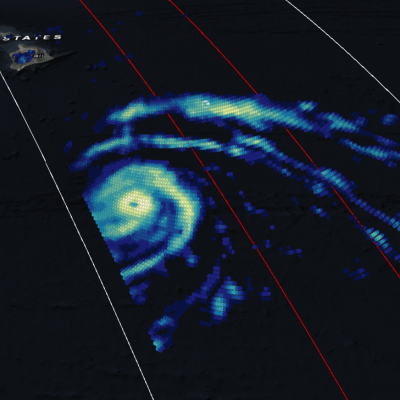
Dangerous Hurricane Willa Probed By GPM Satellite
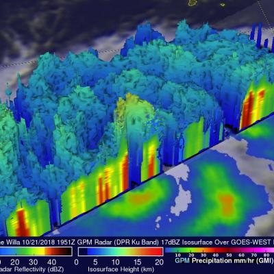
Hurricane Willa was moving northward toward the western coast of Mexico when the GPM core observatory passed above on October 21, 2018 at 1:51 PM MDT (1951 UTC). The hurricane had maximum sustained winds of about 95 mph (109 kts). Since then Willa has rapidly intensified and today has winds of 155 mph (135 kts) making it a dangerous category four on the Saffir-Simpson hurricane wind scale. GPM's Microwave Imager (GMI) and Dual-Frequency Precipitation Radar (DPR) instruments collected data showing that hurricane Willa and feeder bands were producing heavy rainfall over a large area. The