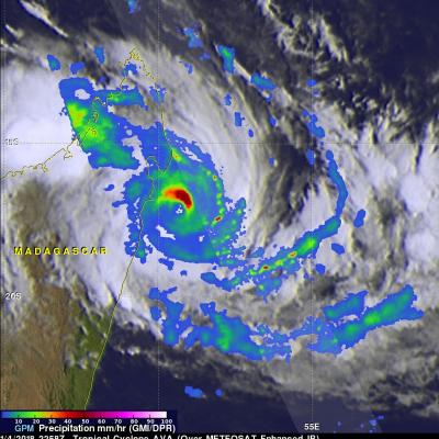
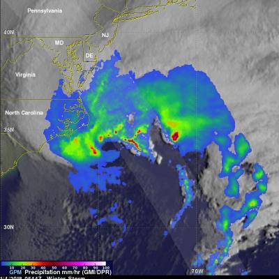
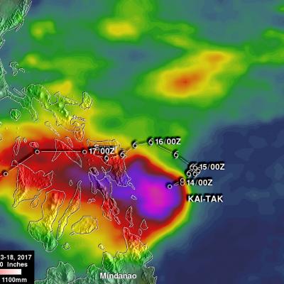
IMERG Reveals Rainfall Rates With Tropical Cyclone Berguitta
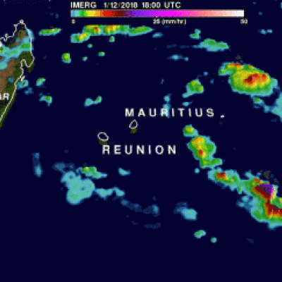
Tropical cyclone BERGUITTA formed in the southwestern Indian Ocean northeast of the islands of La Reunion and Mauritius on January 12, 2018. BERGUITTA is now moving toward the southwest and threatening the islands. Early on January 16,2018 BERGUITTA had maximum sustained winds estimated at 100 kts (115 mph). This means that BERGUITTA was the equivalent of a category three hurricane on the Saffir-Simpson hurricane wind scale. Later in the day BERGUITTA's maximum sustained wind speeds were estimated at 85 kts (98 mph) with gust to 105 kts (121 mph). On January 16, 2018 at 1200Z tropical cyclone